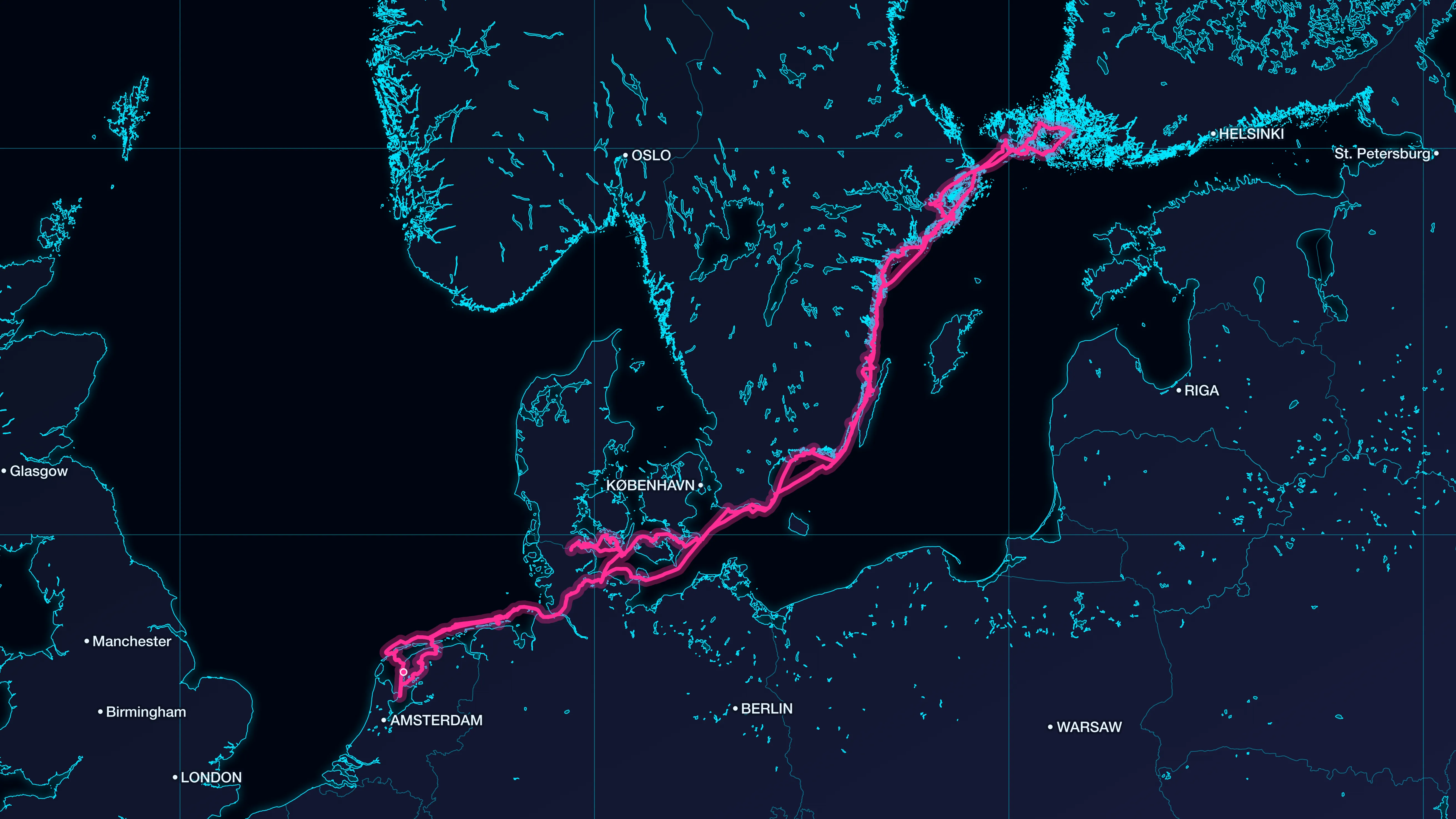
Portolan draws a map displaying the track of a journey from GPX files or geotagged photos. There are different map styles, all are fully editable: old hand-drawn charts, modern city maps, or simple overlays. Portolan exports static images or animations for videos, reports, and presentations.
Portolan can export the route drawing itself, as a video intro, a chapter break or an end card. The route animation can move at an even pace, or in step with the real journey, timed to the frame rate of the footage. For a map overlay on the playing footage, Portolan exports it on a transparent background, ready for the video editor.